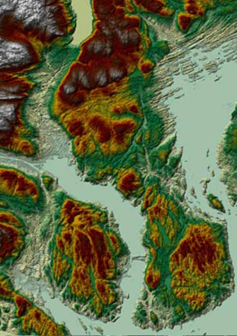
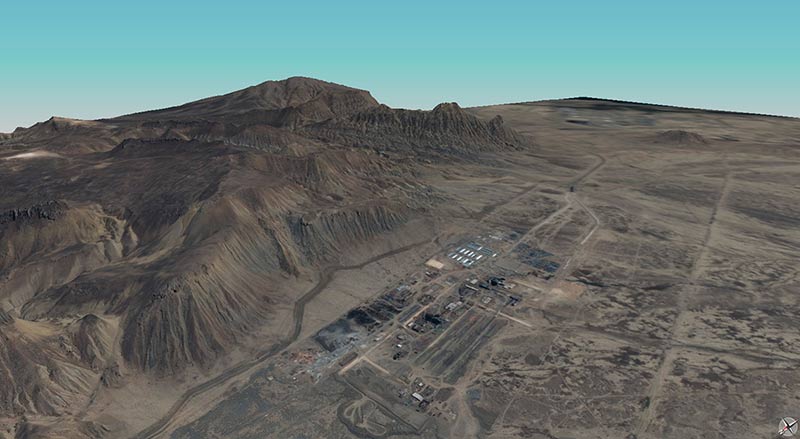
Airbus Elevation 1 & 4
Highly precise altimetric information.
Airbus Elevation offers a comprehensive range of models providing accurate elevation data everywhere in the world, whatever the relief and weather conditions.
Key features
- Accurate: Based on matching of very high resolution optical stereo imagery
- Two Models: Digital Surface Models (DSM) including the "first surface" elevations and Digital Terrain Models (DTM) representing the bare Earth elevation available
- Compliant: Suitable to HRE40 (E4) / HRE10 (E1) standards (military standards (NGA))
- Tailored: Production on demand for your Area of Interest


