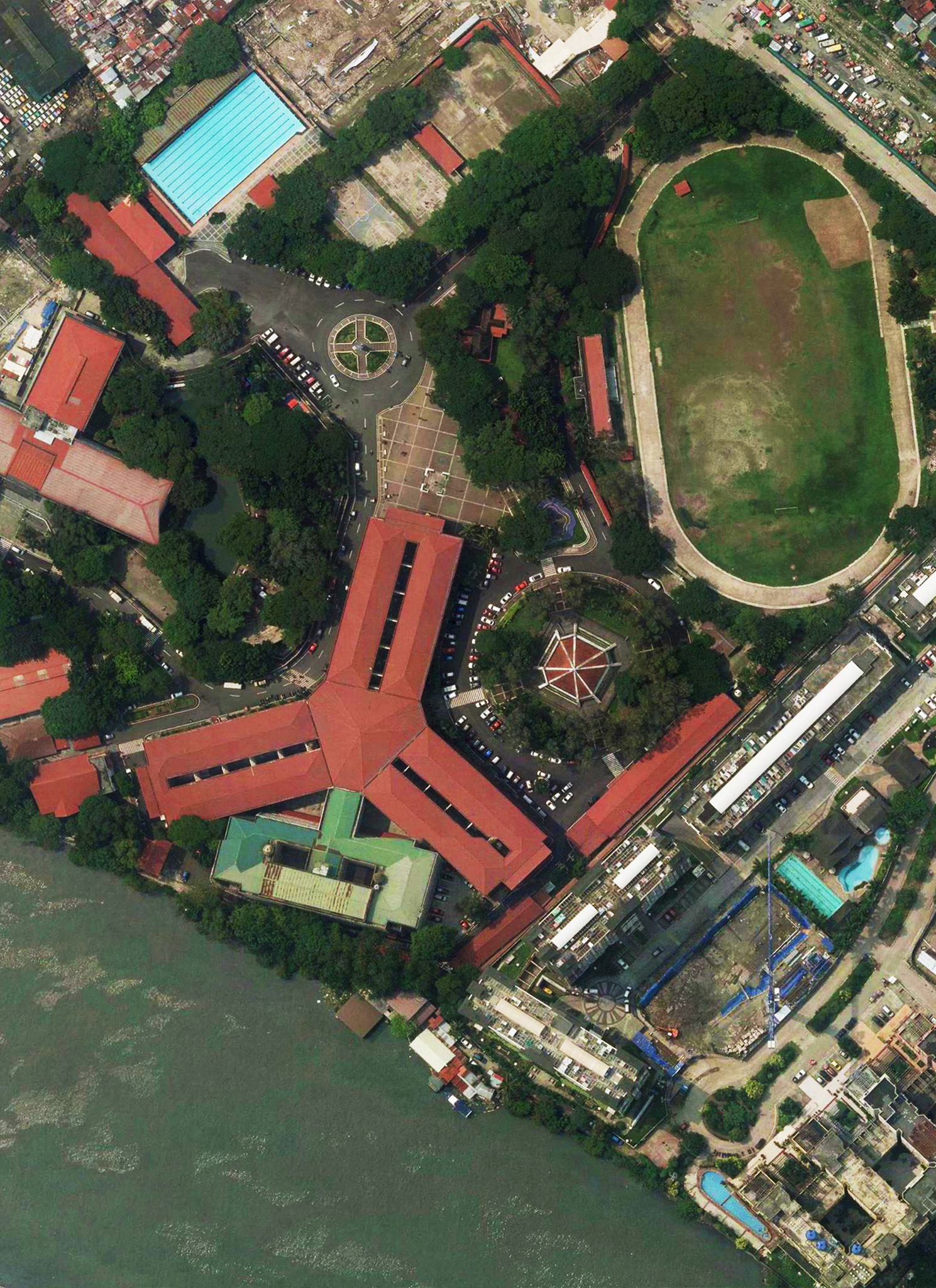
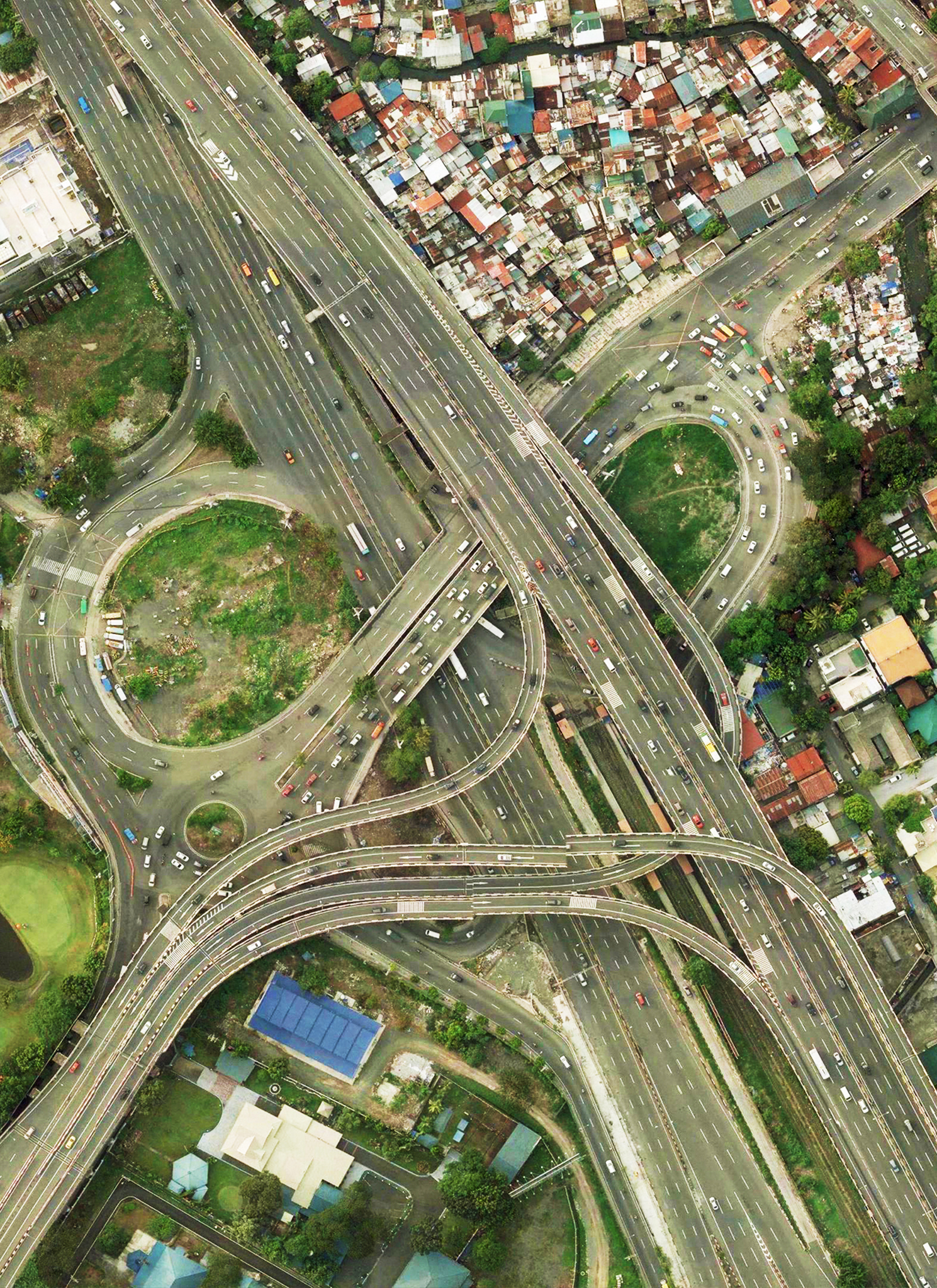
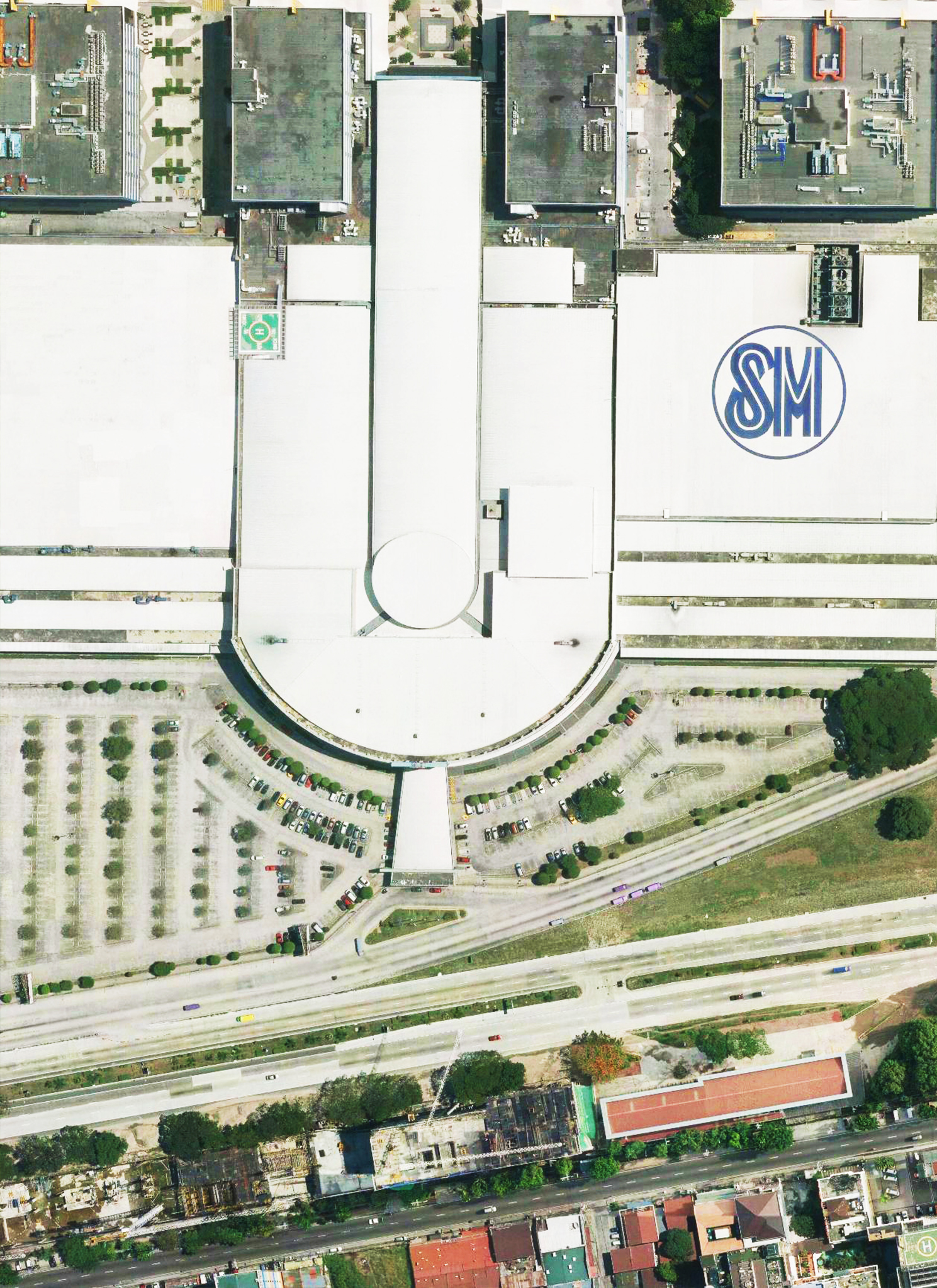
In 1964 CERTEZA pioneered aerial photography in the Philippines and has since continued to lead the field. CIC provides a full range of high quality aerial photography solutions, to ensure highly detailed aerial mapping. From small and technically challenging projects to large and high volume work; We have the capacity and expertise to deliver high quality data on-time and cost effectively. CERTEZA owns a Twin Commander 685 (RP - C5230) a fixed wing aircraft dedicated to airborne data acquisition, an ideal platform for large-format digital imaging technology and Lidar airborne LiDAR systems.
CERTEZA offers a complete production flow-line for photogrammetric mapping from aerial photgraphy, ground control survey, photogrametric processing and database creation to the output of digital vector mapping, orthophotomaps, digital terrain models and contours.
APPLICATIONS:
- Archaeology
- Cartography
- Detailed Engineering
- Disaster Mapping
- Environmental Studies
- Land Use projects
- Large-scale Geospatial Content Collection
- Large-scale Toporaphic Surveying
- Oil and Gas Surveying
- Power Line Inspection
- Watershed Management

Check Leica Geosystems our Technology partner for high-performing airborne sensors.
Our Partners


.png)