GOVERNMENT
- Disaster Management
- Public Safety
- Smart Census
- Smart City
- Smart Nations
- Transportation
Geospatial solutions is highly beneficial for different government bodies.
Exploting geospatial data with software solutions provides government agencies with powerful tool to make intelligent decision for different issues both local and national level.
Partners: Airbus, Intermap, and Hexagon Safety, Infrastructure and Geospatial, Leica Geosystems Airborne sensors
Featured Partners: Airbus, Intermap, and Hexagon Geospatial, Leica Geosystems
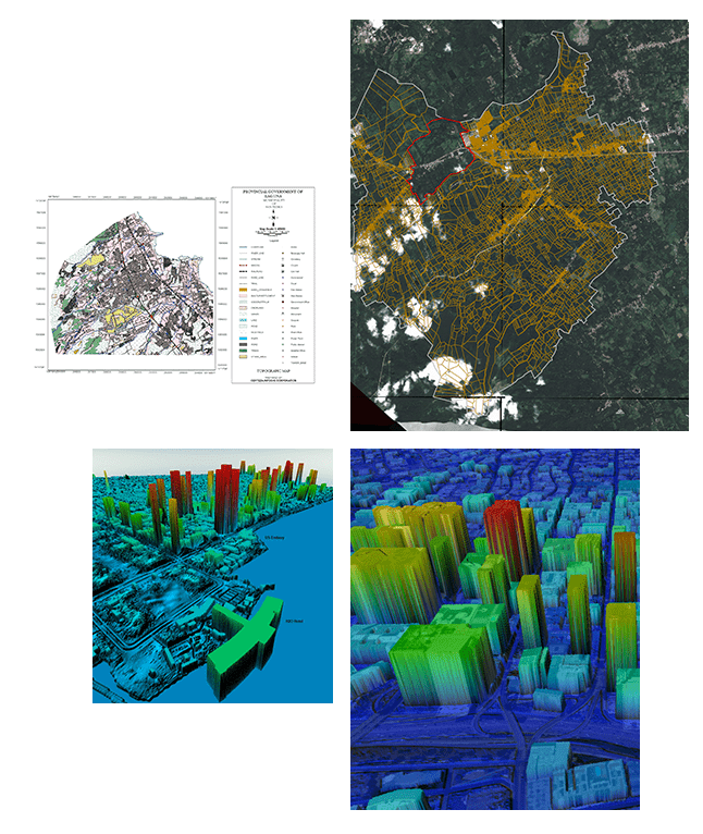
Enhance the quality of life with Geospatial solutions.


.png)