
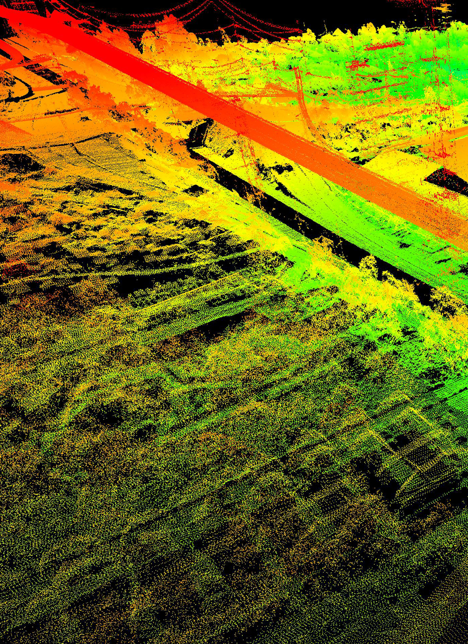
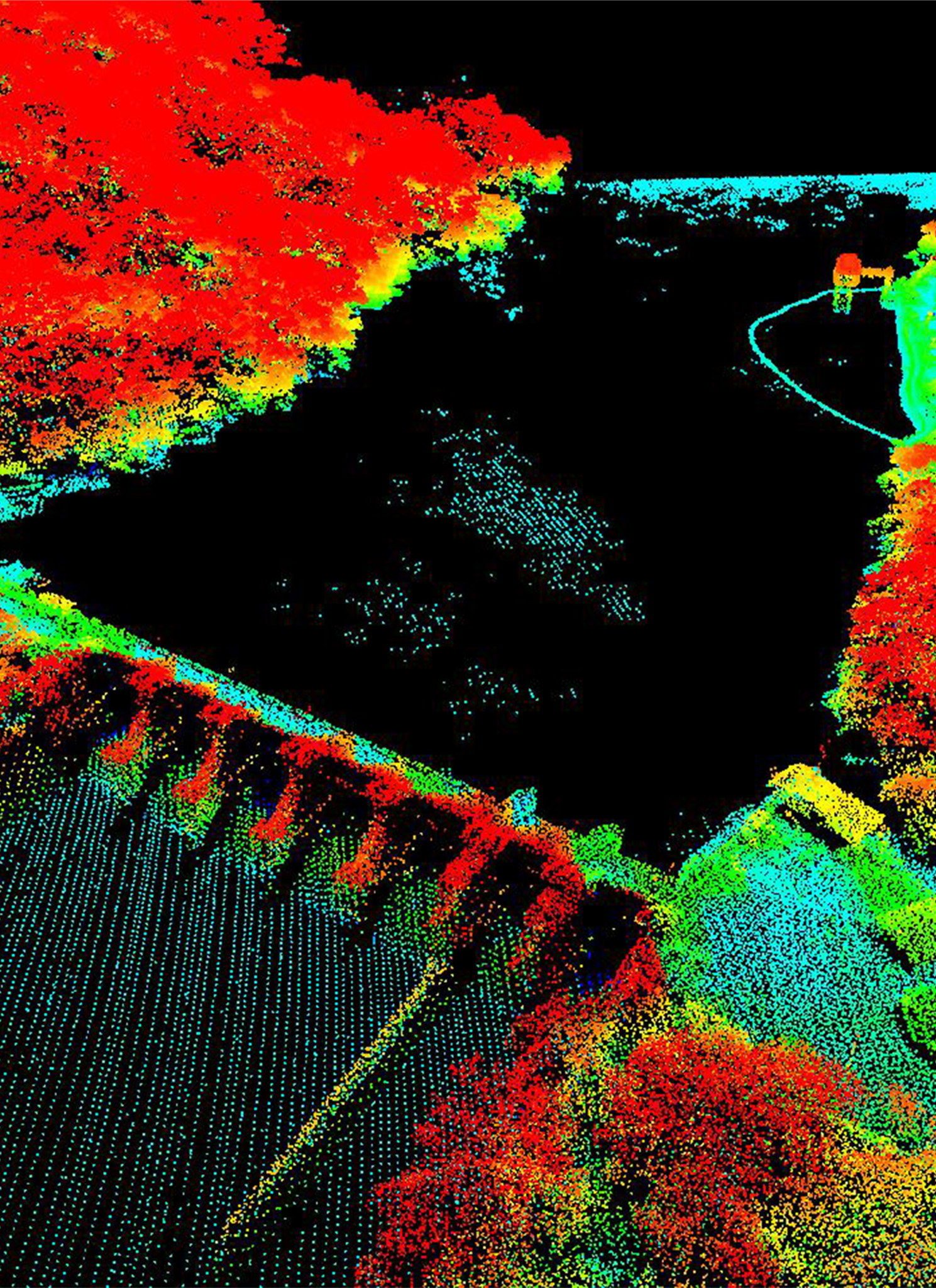
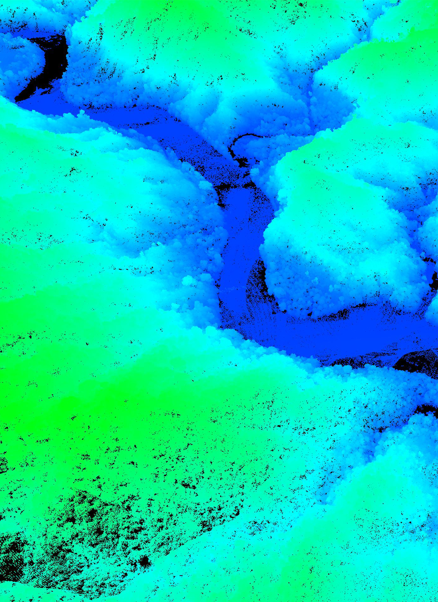
Airborne LiDAR (Light Detection and Ranging) involves mounting a laser scanner in an aircraft that measures the height of discrete points in the landscape below the aircraft. It is an accurate and effective method for creating three-dimensional topographical aerial maps and highly accurate surveys of both surface terrain elements and manmade structures. It provides higher density, higher accuracy, and less time for data collection and processing.
Certeza Infosys provides cost-effective and consistent quality LiDAR services anchored to international standards. Our approach for LiDAR production sets itself apart from the competition as we provide full and comprehensive solutions that meet our clients' needs for accurate elevation data.
Certeza having the adventures and better understanding of LiDAR technology has greatly improved the usefulness of Aerial LiDAR as a valuable aerial mapping tool.
Mining, Utilities, & Engineering
• Centerline Road Corridor
• Landslide Risk Mapping
• Power Line/Pipeline Corridor Mapping
• Road Profile and Cross
Urban Modeling/Real State Development
• 3D Viewing and Modeling
• Digital Elevation Model & Digital Surface Model @ cm accuracy
• Engineering Accuracy Digital Terrain Models
Disaster Risk Management
• Coastal Zone Mapping
• Flood Risk Mapping
• Landslide Risk Mapping
• Slide Analysis
Forestry and Environment
• Forest Canopy Cover Mapping
• Forest Cover Mapping
• Slope Analysis
Check Leica Geosystems our Technology partner for high-performing airborne sensors.
Our Partners


.png)