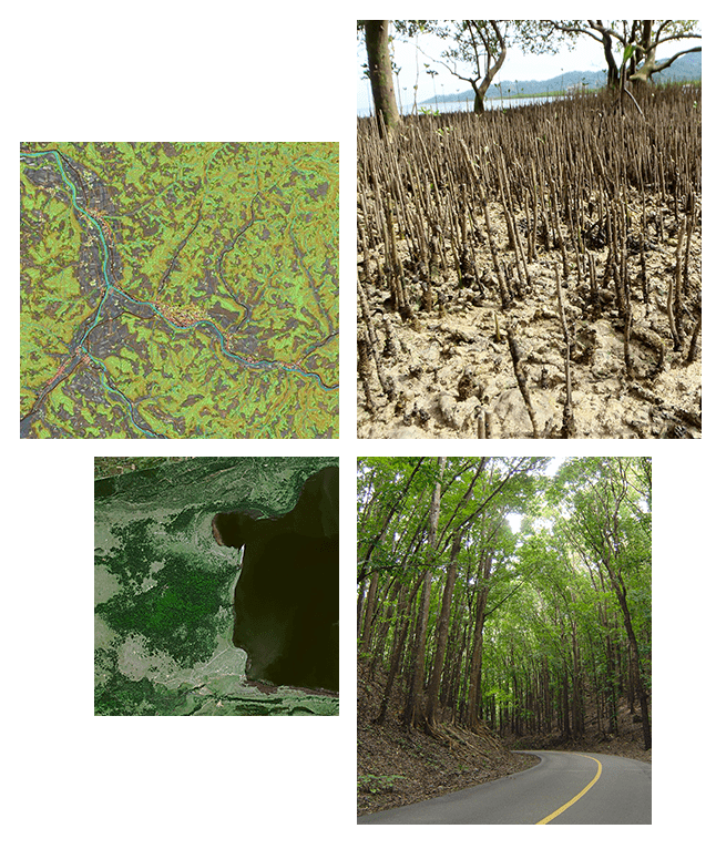
FORESTRY
- Change Detection at large scale
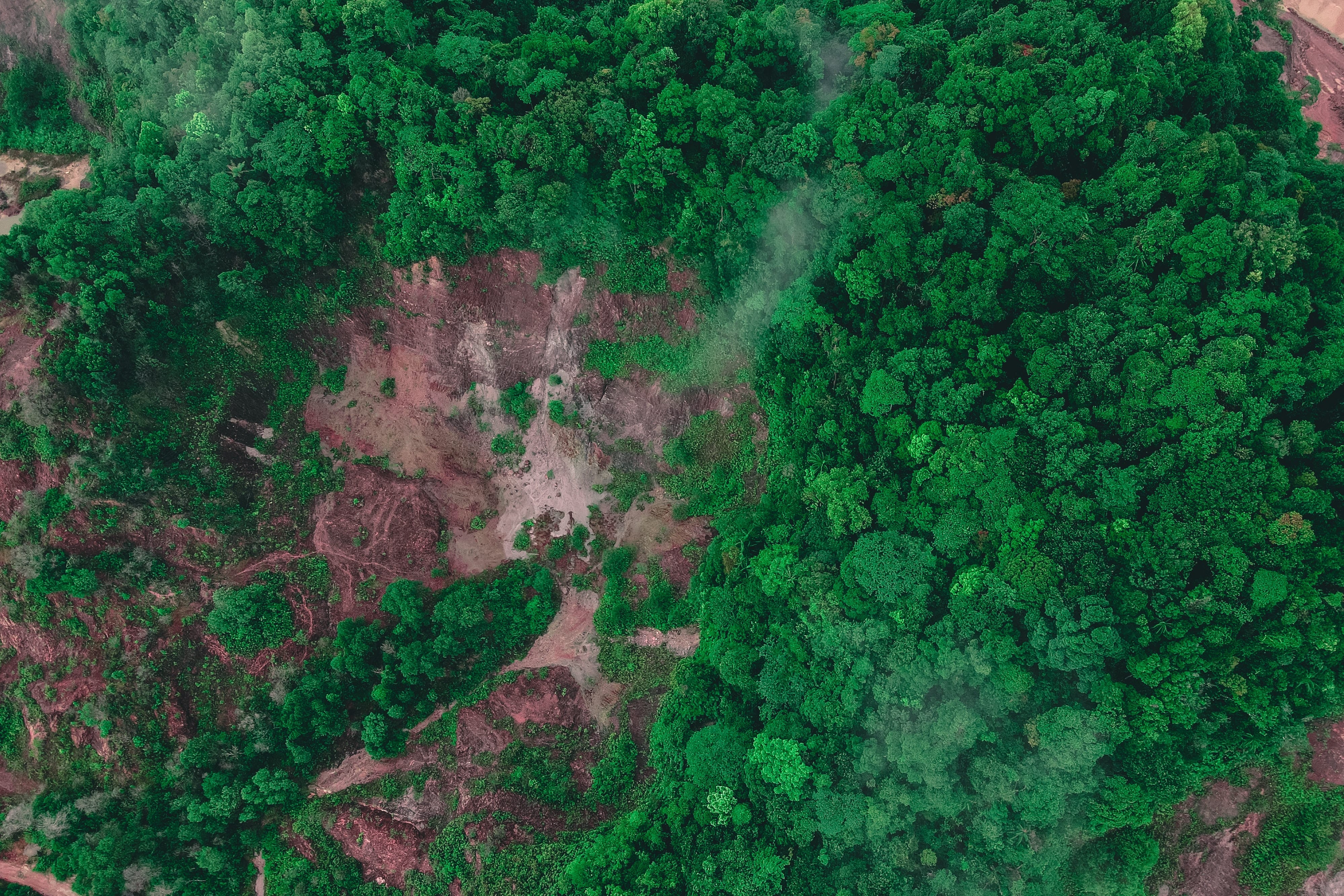
- Evaluation of Damages due to natural and man-made hazards
- Forest Management
- Mapping
- Perform cost-effective and accurate forest inventory, at national or local scales
- Policy Reinforcement
Together with our partners, we can provide Forestry professionals, forestry companies, government agencies, and non-profit organizations with mapping solutions to monitor vegetation health, identify changes over time, and control operations.
Partners: Airbus, Intermap, and Hexagon Safety, Infrastructure and Geospatial
Featured Partners: Airbus, Intermap, and Hexagon Geospatial
Adressing Forestry and Environmental challenges with location intelligence


.png)