Home
Services
Aerial Photography
Remote Sensing
Surveys
LiDAR
IFSAR
Geographic Information System (GIS)
Products
Optical and Radar Satellite
One Atlas
OneAtlas Data
OneAtlas Analytics
OneAtlas Thematic Services
Elevation Data Products
Software
RSTAR Affinity
Power Portfolio
Geospatial Platforms
Solutions
Surveying Equipment
Smart Mobile Scanning Unit
Mobile Mapping Systems
Airborne Systems
Reality Capture
Monitoring Hardware
Construction Tools
Laser Scanners
Robotic Total Stations
Manual Total Stations
Multistations
GNSS System
Utility Detection Radar
Controllers
DJI Drones Enterprise
DJI Payload
Echosounder
3vGeomatics
Geotechnical Sensors
RSTAR Affinity
Inclinometers
Data Loggers
Piezometers
Tiltmeters
Settlement Systems
Extensometers
Crack Meters and Joint Meters
Strain Gauges and Strain Meters
Load Cells
Pressure Cells
Thermistors
Signal Cables
Readouts
Grout Monitors
Vibration & Overpressure
Brands
Solutions
Land Administration and Mapping
Defense and Security
Mobility and Transportation
Forestry
Agriculture
Oil, Gas, Mining, and Energy
Aviation
Government
Surveying
Civil Engineering and Infrastructure
Utilities and Communication
Education Program
Projects
Career
About Us
Contact Us
Home
Products
Construction Tools
*
Surveying Equipment
Leica NA500 Series
Leica NA500 Series
Inquiry Form
Name
Email
Phone
Message (optional)
Send Inquiry
Reliable levels for accurate measurements and high quality results
Categories:
Construction Tools
.
Surveying Equipment
.
Brands:
Leica Geosystems
.
Leica Geosystems is a pioneer in manufacturing levels and understands the needs of construction workers
Whatever your need, basic or more, Leica Geosystems levels are your answer
With a unique design, these levels produce the highest quality results at the best price value
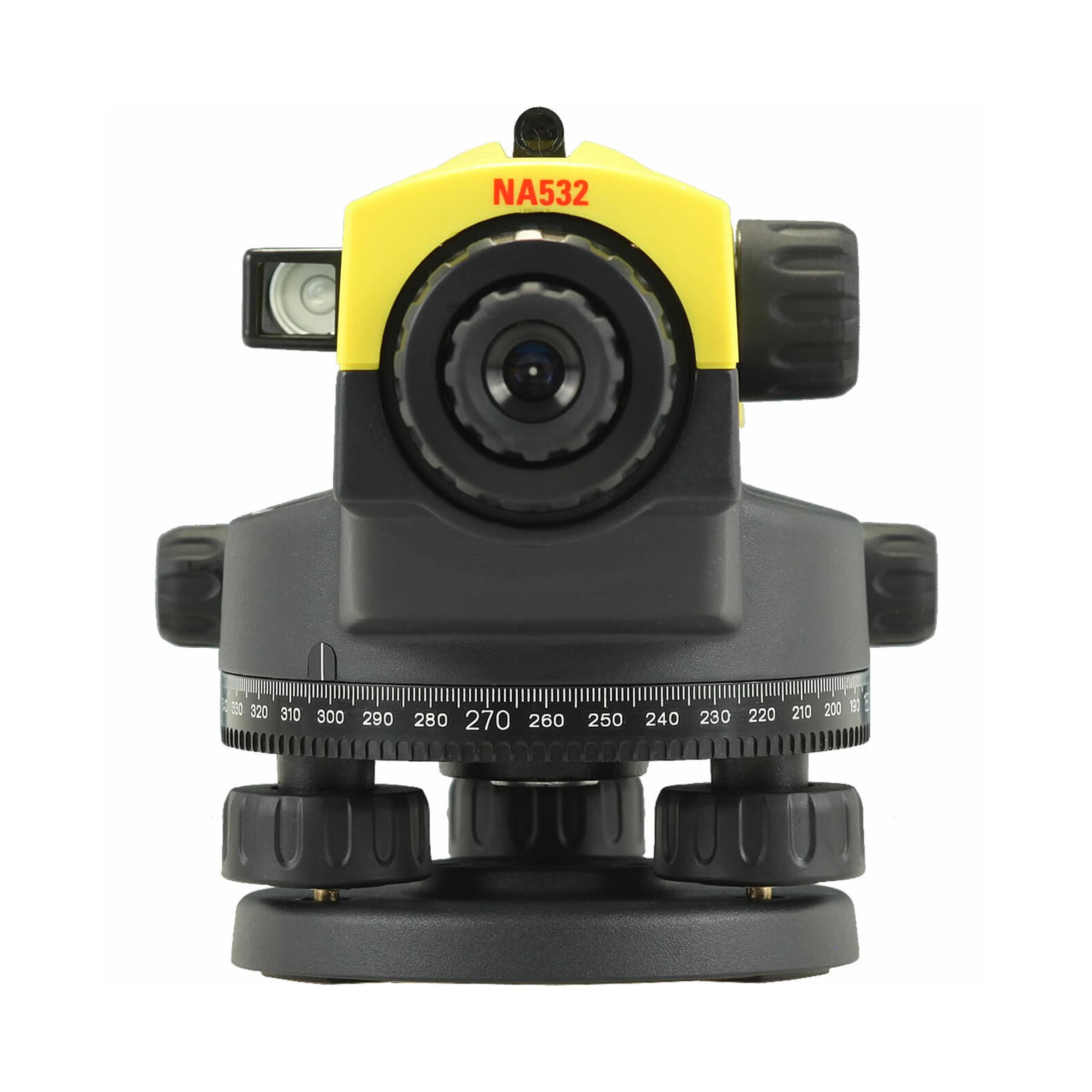
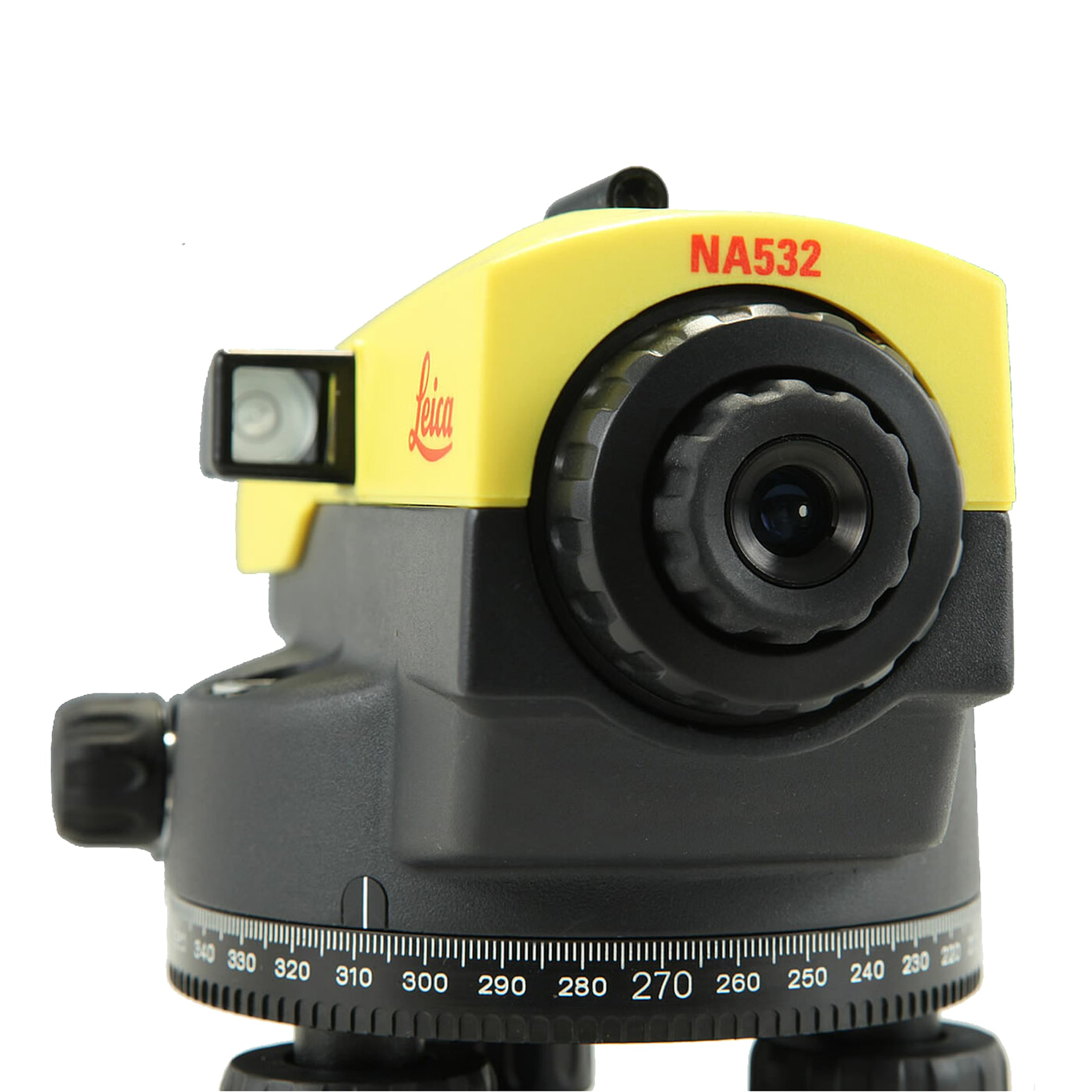
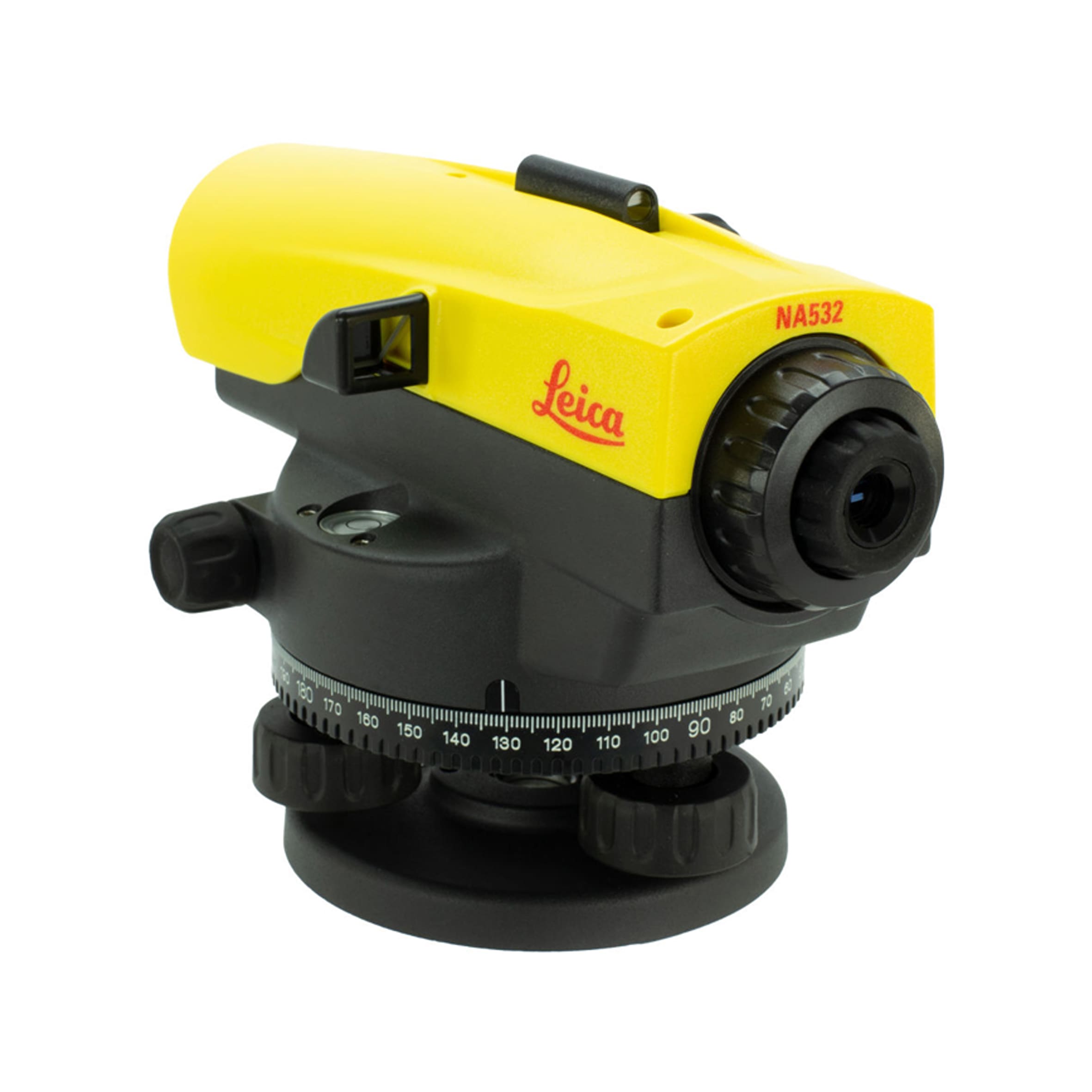
The unique design of the Leica NA500 Series reflects the high quality of technology featured inside each level
The NA500 Series is ruggedly made to withstand the harshest elements
These levels, while highly accurate, provide quick and easy measurements
Rely on the known expert knowledge of Leica Geosystems with service centers worldwide ready to support you
Unbeaten warranty and service offering
Leica Geosystems offers solutions for all your construction needs
Select Category
Optical and Radar Satellite
One Atlas
OneAtlas Data
OneAtlas Analytics
OneAtlas Thematic Services
Elevation Data Products
Software
RSTAR Affinity
Power Portfolio
All Power Portfolio
GIS & Mapping
Remote Sensing
Photogrammetry
Web GIS
Data Management
Geospatial Platforms
Solutions
Surveying Equipment
Smart Mobile Scanning Unit
Mobile Mapping Systems
Airborne Systems
All Airborne Systems
Imaging Sensor
Topographic LiDAR Sensors
Bathymetric LiDAR Sensor
Hybrid Sensors
Reality Capture
Monitoring Hardware
Construction Tools
Laser Scanners
Robotic Total Stations
Manual Total Stations
Multistations
GNSS System
Utility Detection Radar
Controllers
DJI Drones Enterprise
DJI Payload
Echosounder
3vGeomatics
Geotechnical Sensors
RSTAR Affinity
Inclinometers
Data Loggers
Piezometers
Tiltmeters
Settlement Systems
Extensometers
Crack Meters and Joint Meters
Strain Gauges and Strain Meters
Load Cells
Pressure Cells
Thermistors
Signal Cables
Readouts
Grout Monitors
Vibration & Overpressure
Sort By Brands
Leica Geosystems
DJI Enterprise
IDS GeoRadar
Seafloor
Hexagon
Airbus
Orica Digital Solutions
RST Instruments
Measurand
Syscom