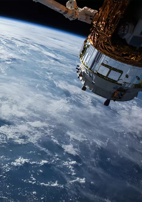
Experience the forefront of Earth observation innovation with Pl&ea...
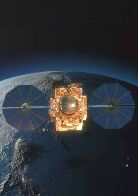
The identical Pléiades 1A and Pléiades 1B satellites...
The Radar Constellation comprises TerraSAR-X, TanDEM-X and PAZ and...
The DMC Constellation acquires multispectral imagery at 22m-24m res...
Learn how to order imagery and task the satellites with tutorials a...
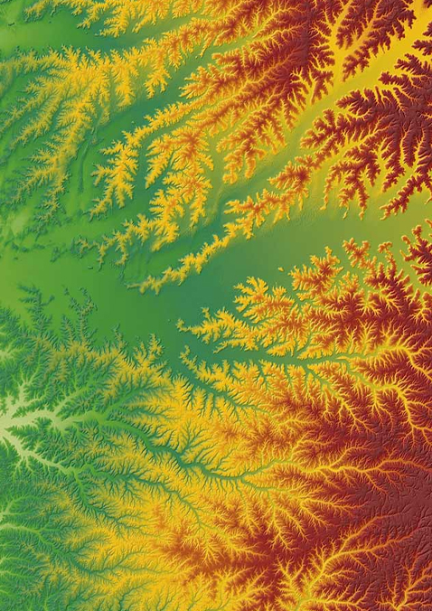
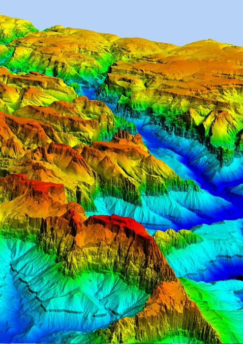
The next level of global Elevation Data
...
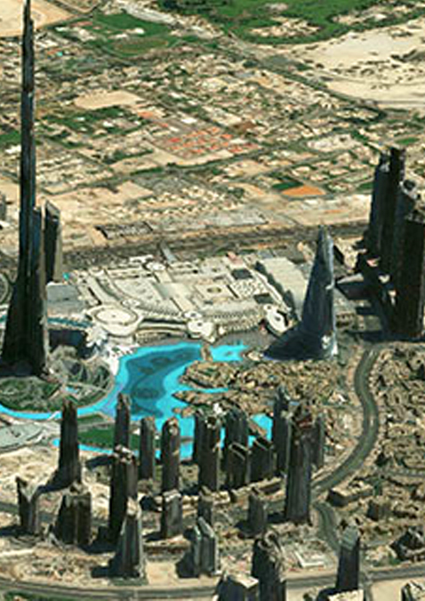
Add textured model relief to your imagery and visualize the world i...
OneAtlas enables direct access to state-of-the-art Change detection...
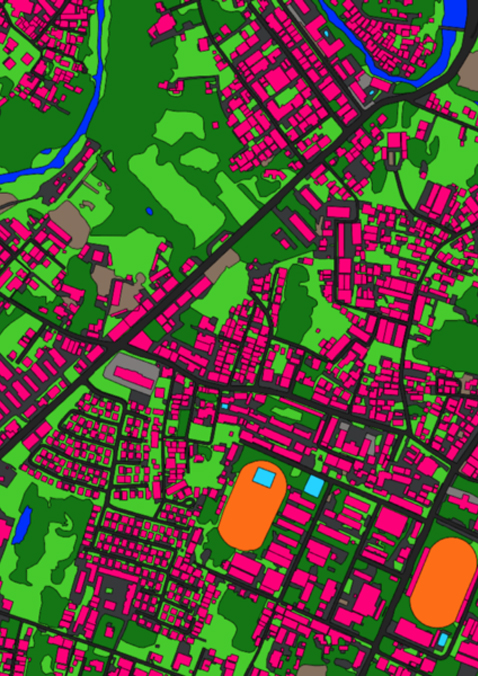
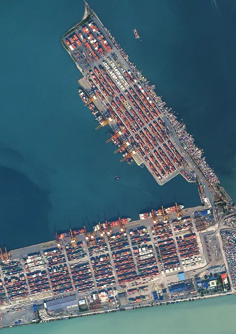
OneAtlas turns imagery into accurate, detailed extractions of land...
OneAtlas Analytics leverages premium Airbus satellite imagery.
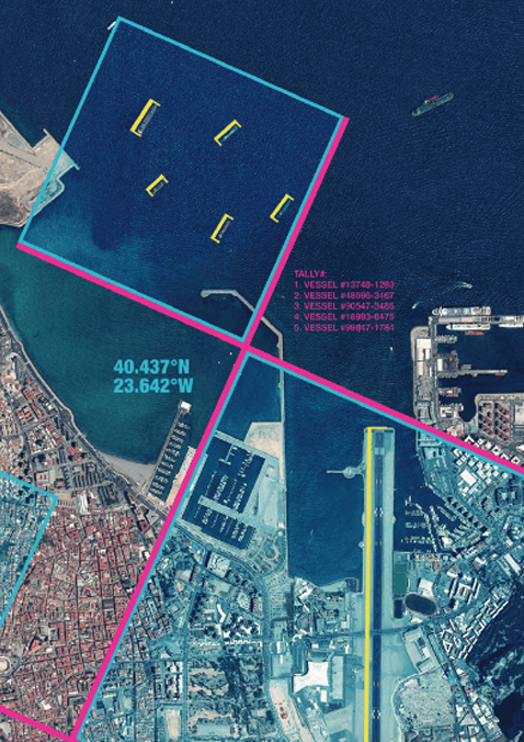
Defence Site Monitoring automatically monitors hundreds of sites wo...

Monitoring insights for refinery shutdowns.
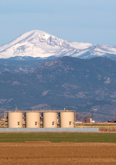
Shale production site monitoring tool.
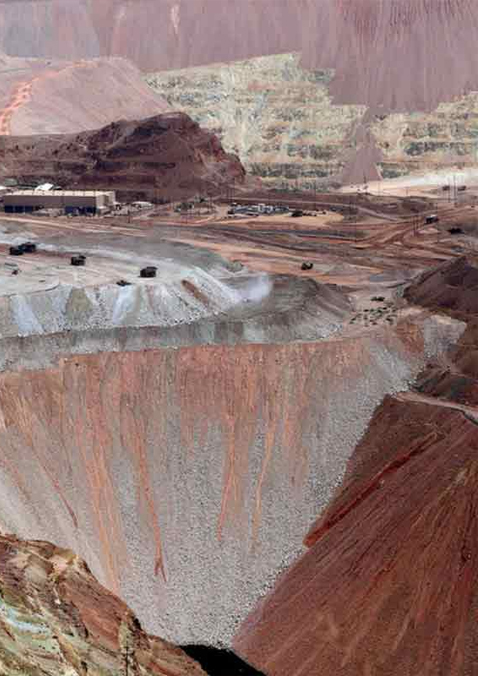
Calculating stock piles remotely

Our Crop Analytics for institutions delivers time series of satelli...
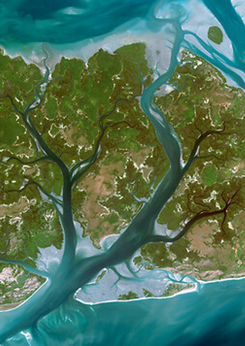
Allows you to monitor your environmental impact with reli...
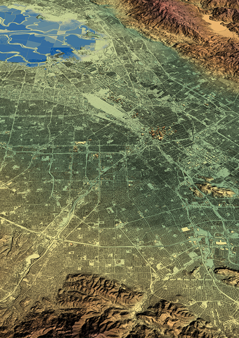
Laying the Foundation for Location-Based Decisions
...
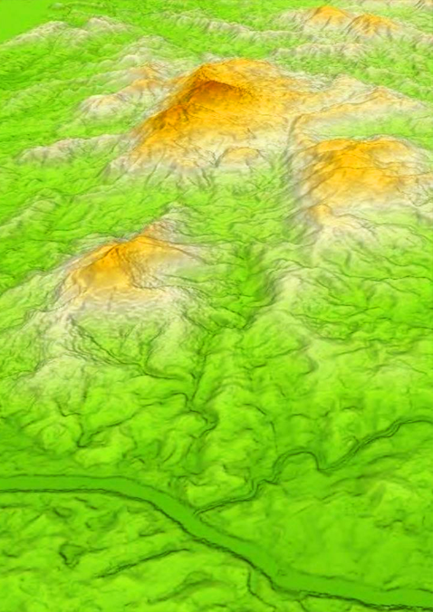
The next level of global Elevation Data
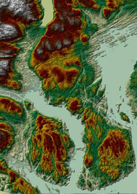
Highly precise altimetric information.
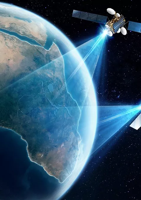
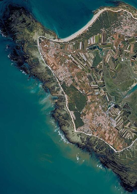
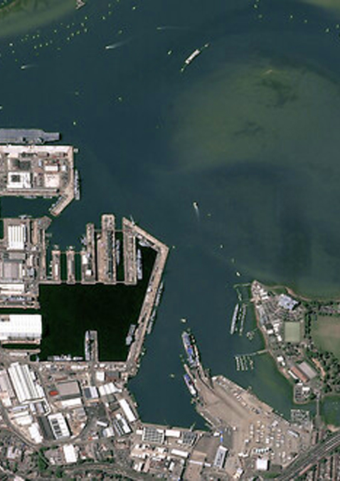
Quick & easy access to premium satellite imagery from our multi...
When the stakes are high, start with the right foundation.