NEXTMAP® Elevation Data Suite
Laying the Foundation for Location-Based Decisions
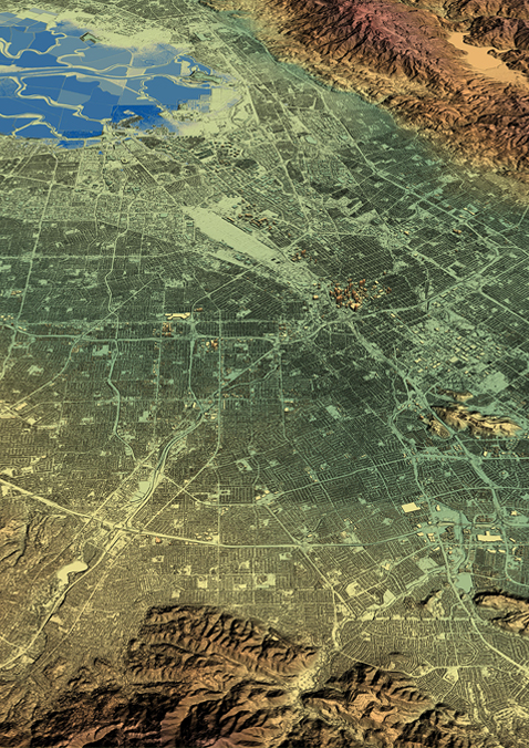
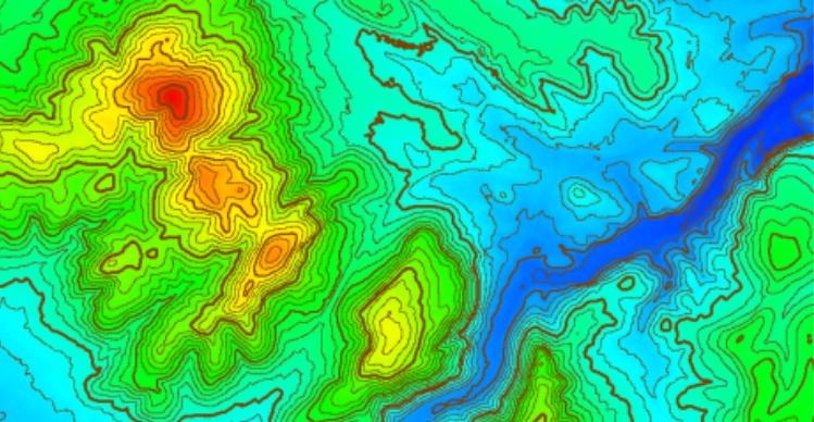
NEXTMap One digital elevation model is Intermap’s next-generation global 3D terrain dataset. It provides seamless data at one-meter resolution enabling precise spatial analysis. A comprehensive worldwide offering that is available as a digital surface model (DSM) and digital terrain model (DTM).
Features
- Global Coverage – NEXTMap is available for all countries and locations worldwide
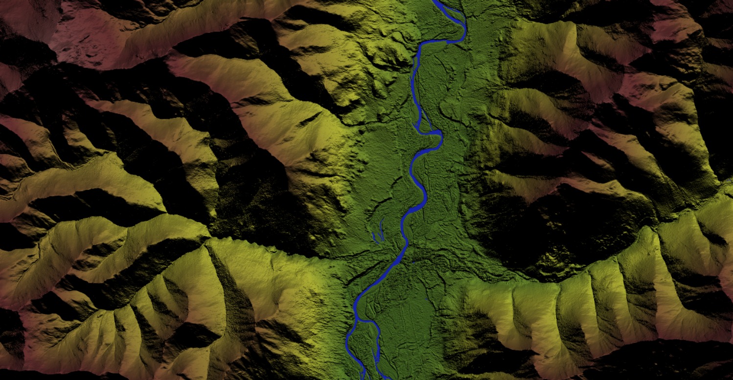
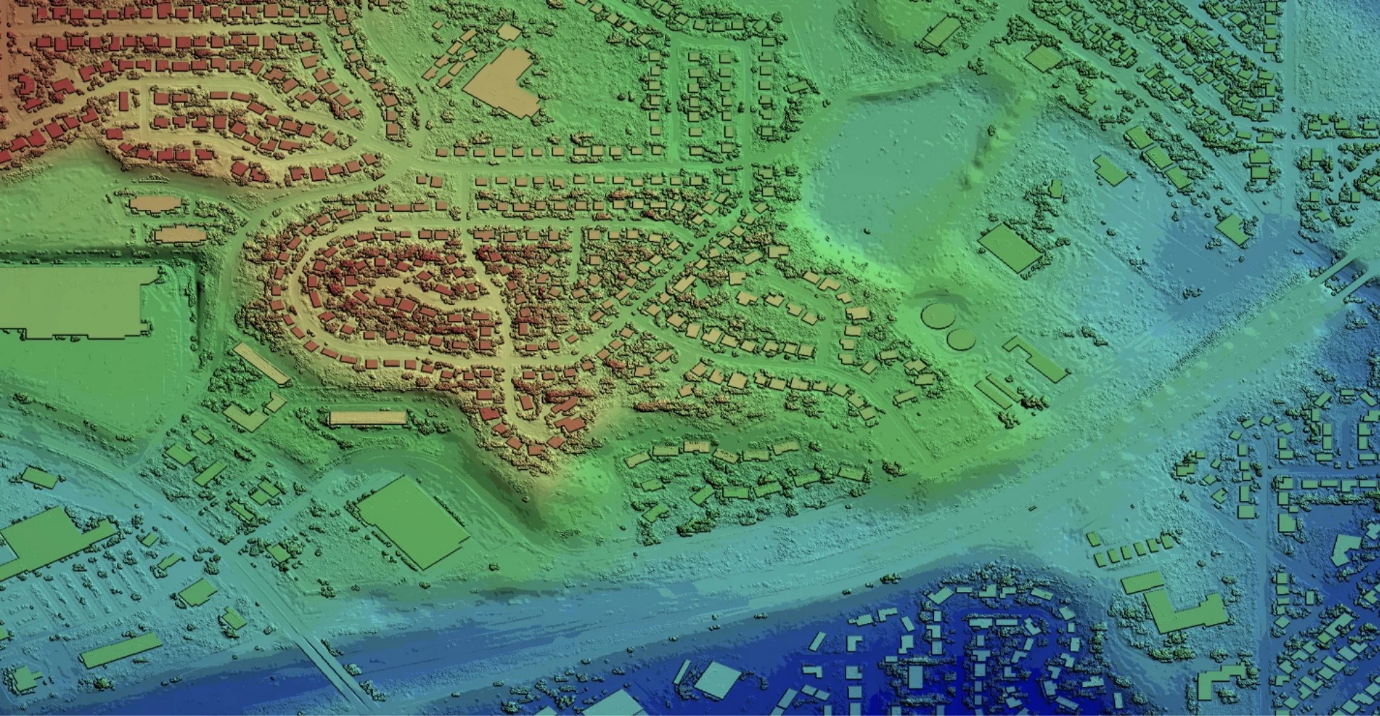
- Rich Features & Bare Earth Models – NEXTMap is available as a natural terrain feature digital surface model (DSM) and as a bare earth digital terrain model (DTM)
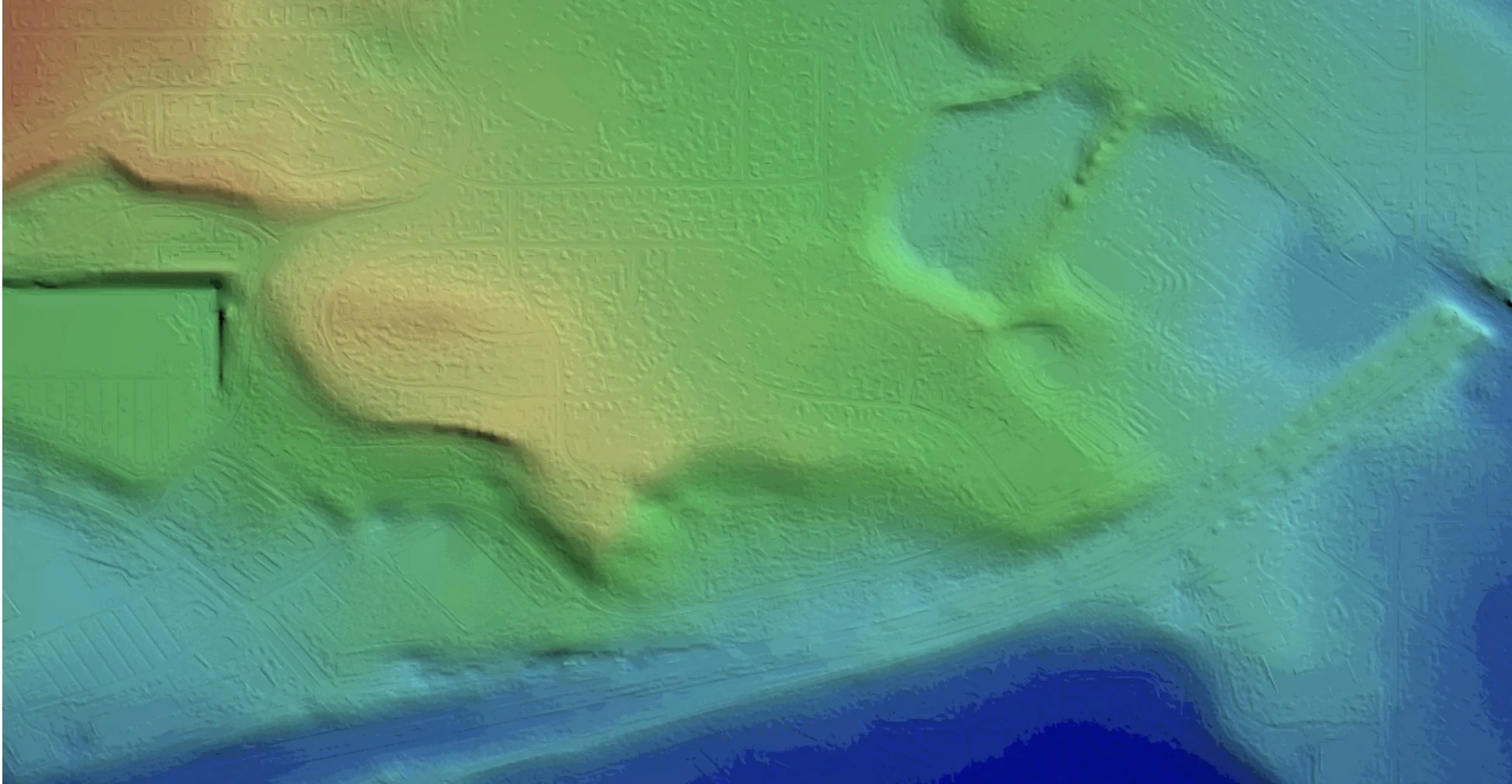
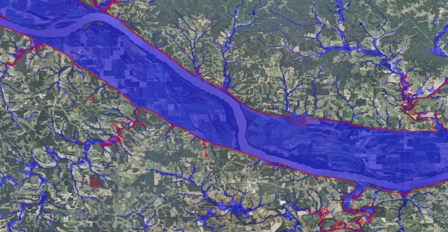
- Hydro Enforced – Water bodies and coastlines are flattened and corrected for accurate measurement
- Seamless Dataset – NEXTMap delivers seamless coverage free of blunders, seam lines, or spikes that can be visible in other global datasets
- Reliable & Cost Effective - Intermap’s budget-friendly fusion services support use of high-res data in high-value areas like cities or flood plains, while providing wider area coverage from medium-resolution datasets
- Convenient Access – Datasets are available through our web portal or via API