-min.png)
Upgraded high-precision GNSS receiver that supports all major globa...
Get survey-proof
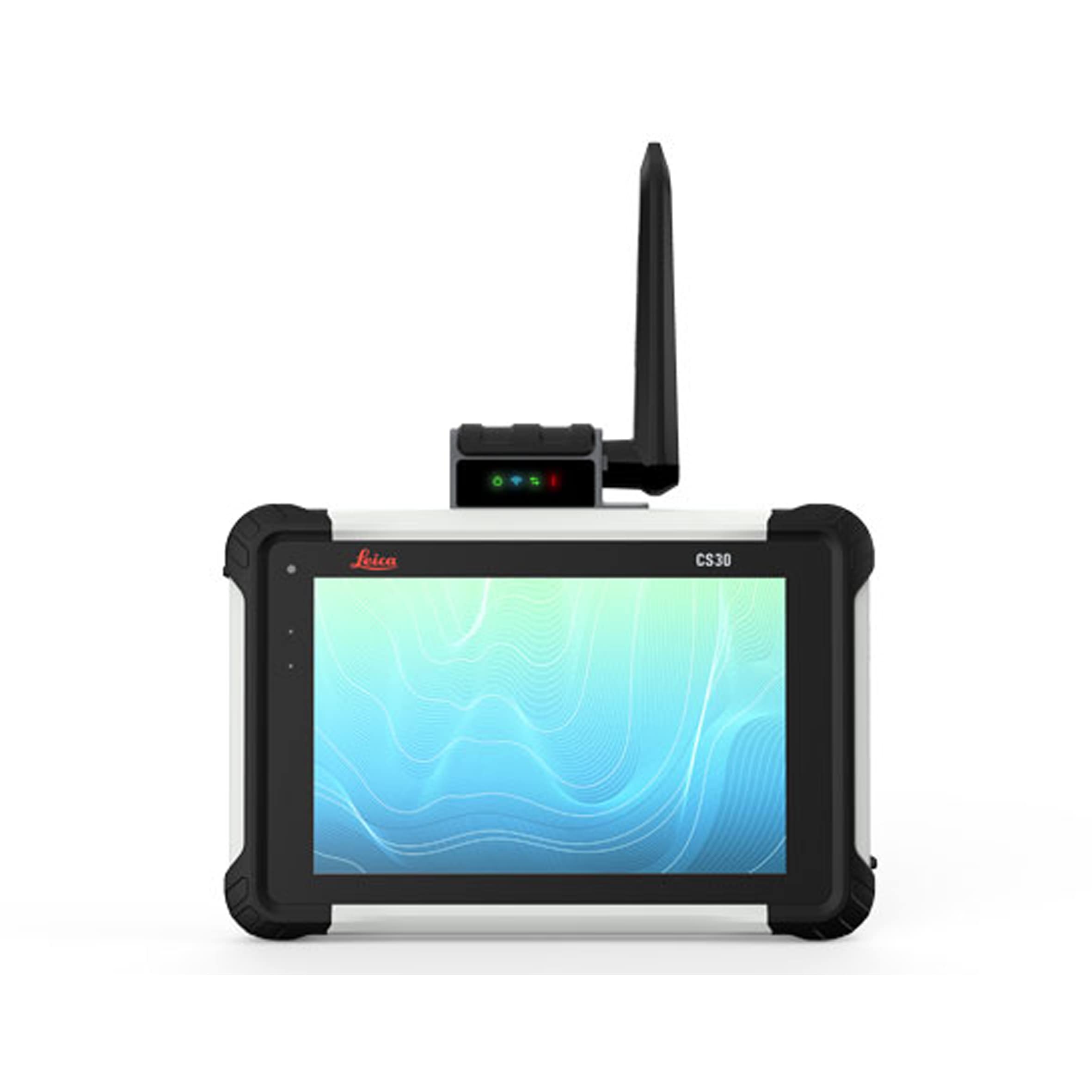
Wider screen, clearer data-power in your hands
-min.png)
Uncovering safer, faster, more
-min.png)
Ground penetrating radar for extensive underground 3D mappinggramet...
-min.png)
The easiest way to capture underground utility assets
-min.png)
Ground penetrating radar for real time underground utility mapping<...
.png)
3D GPR for large areas
-min.png)
Robustness meets Data Quality in the most intuitive ground penetrat...
-min.png)
See thru concrete structures and reveal true data that lead to opti...
-min.png)
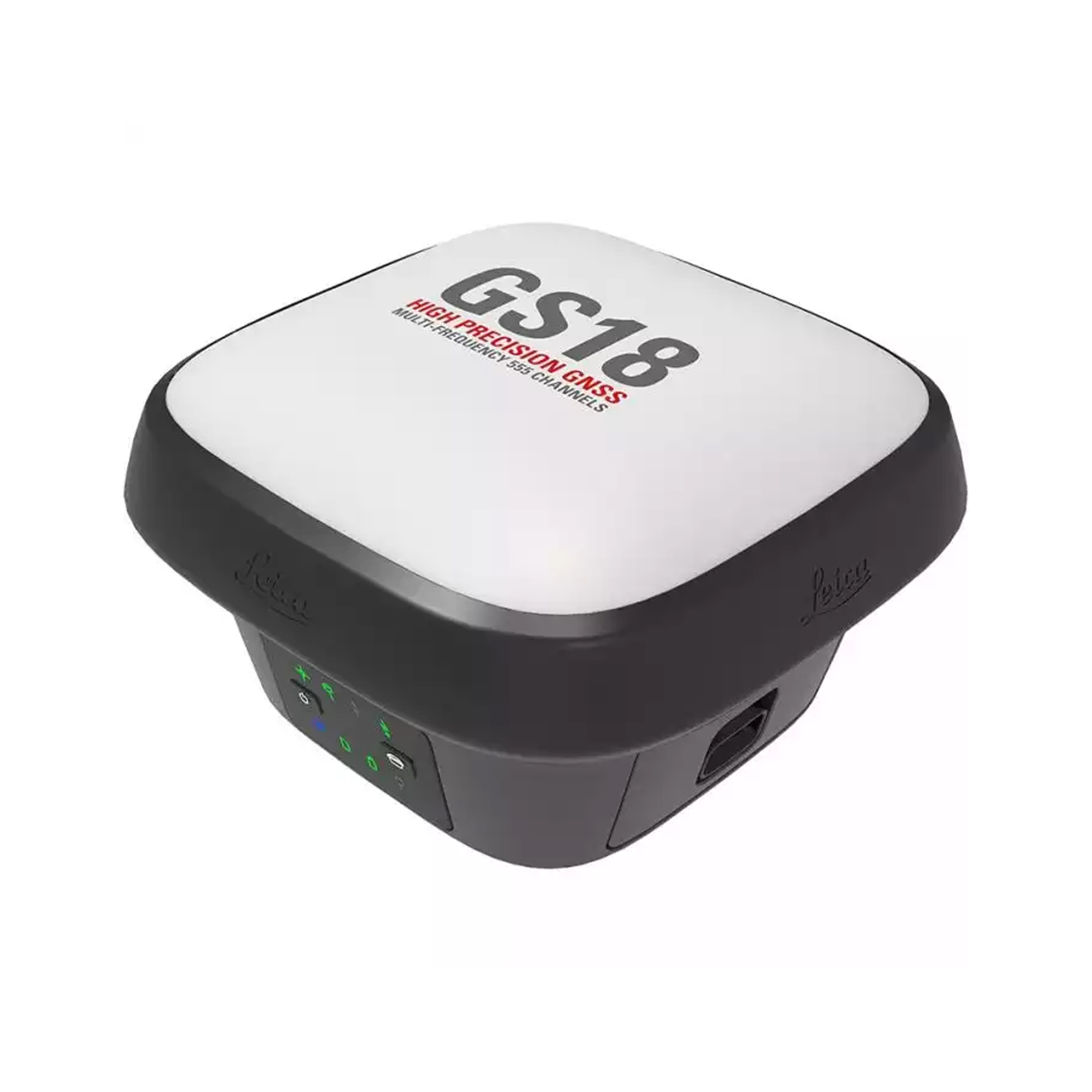
Lightweight GNSS Smart Antenna for accurate positioning
-min.png)
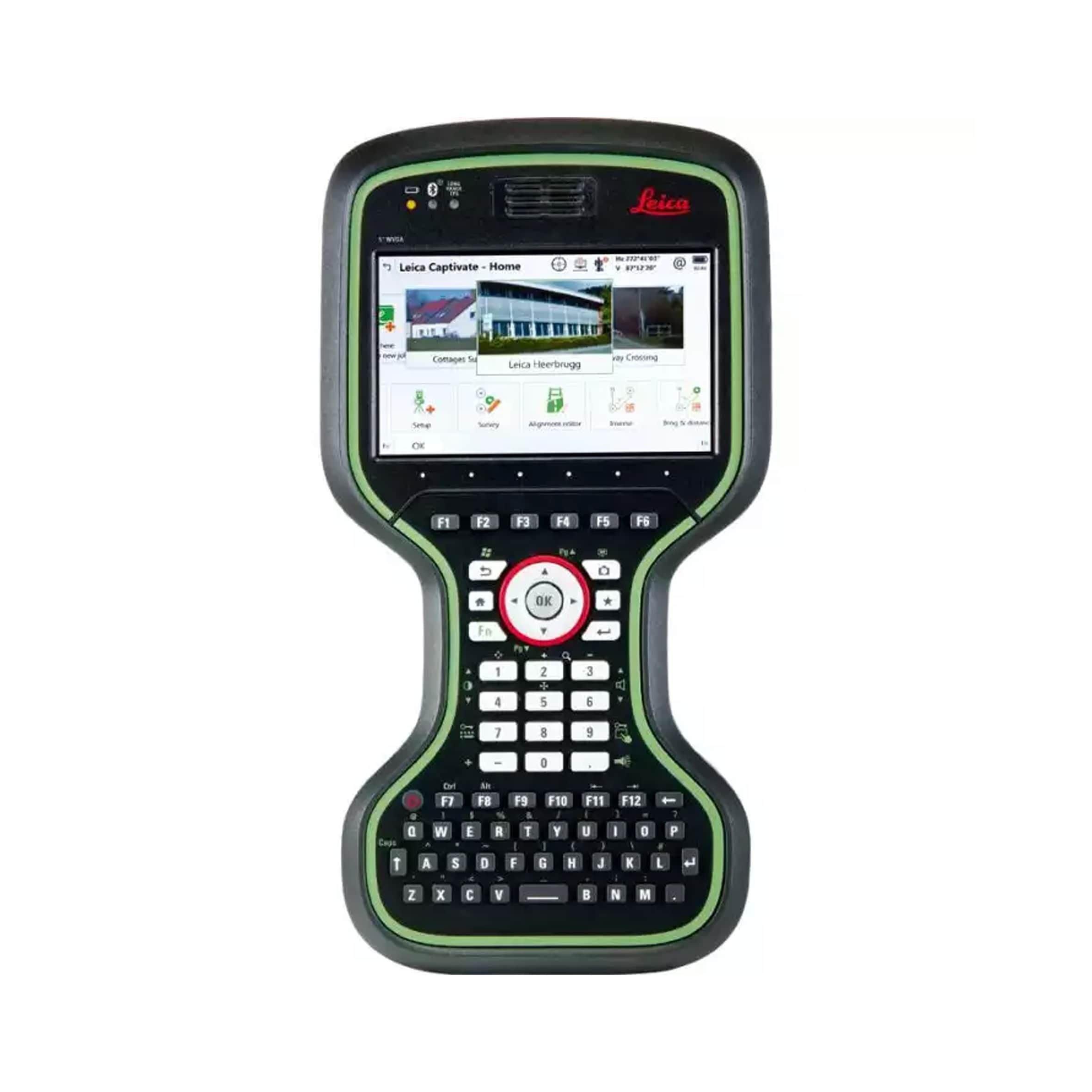
The original tilt compensating GNSS RTK rover
-min.png)
Measure what you see
Measure what you see
-min.png)
The ultimate all-rounder, combining total station functionality wit...
-min.png)
Top performance and precision High-end Manual Total Station
-min.png)
Top precision meets high efficiency Manual Total Station
Best in-class and easy to use Classic Manual Total Station
-min.png)
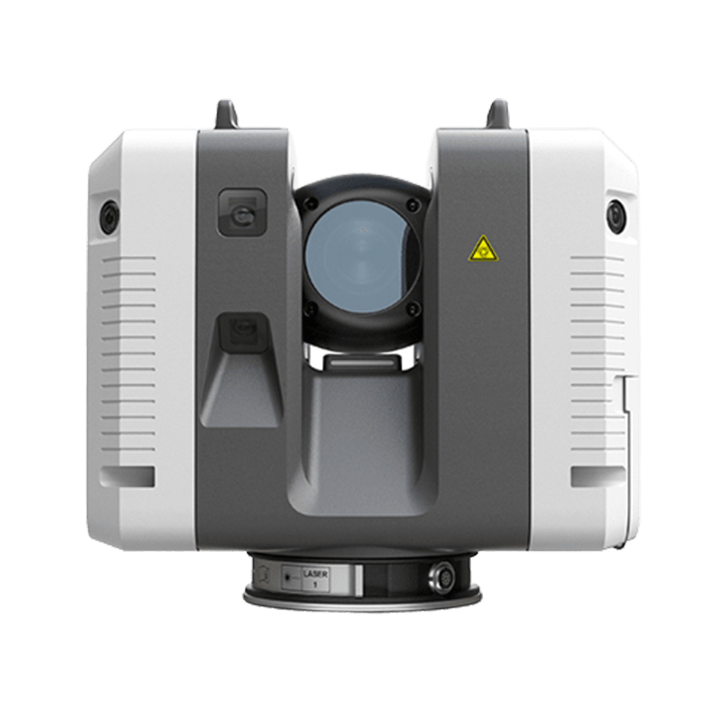
The world’s first self-learning Total Station
-min.png)
A new standard for efficient surveying
Automatically pre-register point cloud data in the field to quickly...